- Causes of Future Sea Level Rise
- Elevation Maps
- Will we really lose all that land?
- Sea Level Rise Planning Maps
Rolling easements prevent sea level rise from eliminating public access either by (a) prohibiting shore protection structures that eliminate public trust wetlands and beaches, or (b) changing (or clarifying) the rules about how the upper boundary of public access migrates inland as the shore erodes. We discuss the first approach in Section 2.1; so here we focus on the second approach.
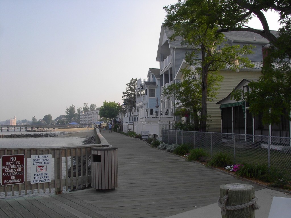
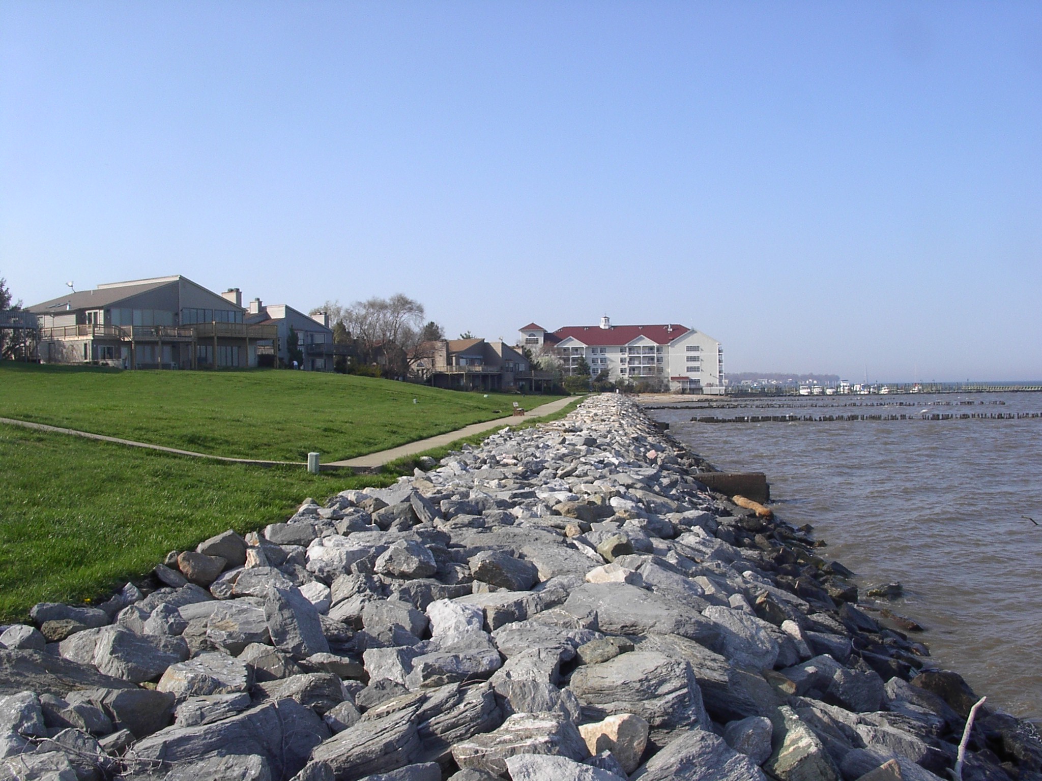
A rolling easement can ensure that shoreline armoring does not eliminate public access along the shore even if the armoring does eliminate the public trust wetlands and beaches to which the public currently has access. The Texas Open Beaches Act requires pedestrian access inland of seawalls in a few specific locations (including the seawall shown in Photos 16, 17, and 24).[90] New Jersey requires public paths along the waterfront inland of new bulkheads and revetments in some locations.[91] Washington requires waterfront owners who build docks to ensure that people walking along the shore have a reasonable way to walk over, under, or around the docks at all tides.[92] Maryland’s Department of Natural Resources takes the position that when a stone revetment covers the intertidal beach, people still have the right to walk over that beach on the boulders that comprise the revetment.[93] (See Photos 19 and 20.)
A rolling easement can also ensure that eroding shores do not eliminate public access in those cases where the inland boundary of public access currently does not migrate as shores erode. The rolling easement must simply make it clear that the public access boundary does migrate inland, even if the shoreline migrates onto an inland parcel across which the public does not currently have access—regardless of whether the erosion is gradual or episodic. A rolling easement can require homes to be removed once they impair public access, or tolerate existing homes while allowing no additional structures. The term “rolling easement” originated with policies in Texas under which the public had access up to the dune vegetation line because people had walked or driven along the beach for many decades, not because of the public trust doctrine.[94] Under the Texas rolling easement policy, access has migrated inland as the dunes retreated.[95]
|
|
 |
[90] Tex. Nat. Res. Code Ann.
§ 61.017(c) (providing for public access inland of seawall on North
Padre Island in the aftermath of State of
Texas v. Padre Island Development Corporation (28th Judicial
District, July 29, 1974)); and Tex. Nat. Res. Code Ann.
§ 61.017(d) (providing for public access landward of a revetment
constructed by the Corps of Engineers).
The pedestrian access is also shown in infra Photo 24.
[92] “Owners of
docks located on state-owned tidelands or shorelands must provide a safe,
convenient, and clearly available means of pedestrian access over, around, or
under the dock at all tide levels.” Wash. Code
Ann.
332-30-144(4)(d).
[93]
Bhaskaran Subramanian, Natural Resources
Manager, Riparian and Wetland Restoration, Maryland Department of Natural Resources, Personal
Communication, June 9, 2010, summarized in email
from Jim Titus to Bhaskaran Subramanian, January 2, 2011.
This page contains a section from: James G. Titus, Rolling Easements, U.S. Environmental Protection Agency. EPA‑430‑R‑11‑001 (2011). The report was originally published by EPA's Climate Ready Estuary Program in June 2011. The full report (PDF, 176 pp., 7 MB) is also available from the EPA web site.
For additional reports focused on the implications of rising sea level, go to Sea Level Rise Reports.

 2.2.2 Impact of Sea Level Rise on Access
